Destination guide
Erg Chigaga: Morocco's biggest dune field, past the end of the road
Erg Chigaga is the largest sand sea in Morocco: a band of dunes roughly 35 to 40 km long in the Drâa-Tafilalet region, starting about 50 to 60 km west of M’hamid El Ghizlane, where the tarmac ends. No road goes there. You cross gravel plain, soft sand and dry lake beds by 4x4, or by camel over several days, and that effort is what keeps the place quiet. This guide covers where the erg is, how big it really is, the camps, the weather and how much time to set aside.
Where is Erg Chigaga?
The erg sits in Zagora Province, in the far south of the Drâa-Tafilalet region, at roughly 29°50’N, 6°15’W. Wikipedia and Lonely Planet both place its centre about 56 km south-west of M’hamid El Ghizlane, the oasis at the end of the N9 from Zagora.
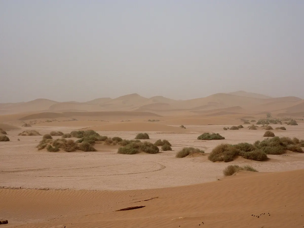
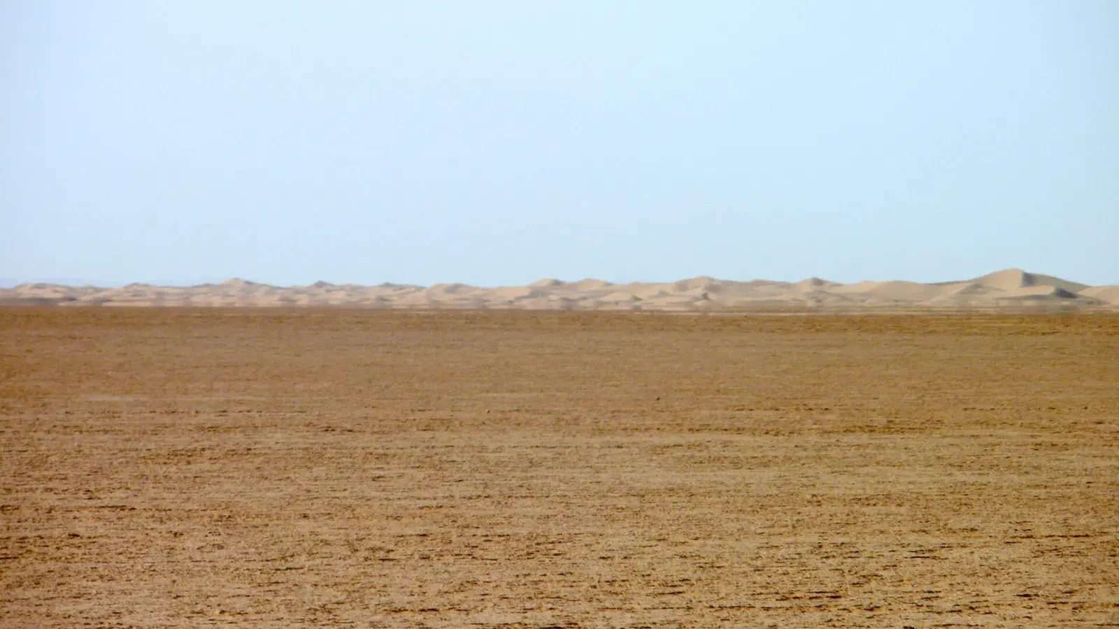
Its edges are easy to read on an Erg Chigaga map. The Jebel Bani ridge runs along the north. The stony hamada of M’hamid lies to the east. To the west is the flat, usually dry bed of Lake Iriki (also spelled Iriqui), and beyond it the oasis town of Foum Zguid, the other gateway to the dunes.
These are the distances that matter when you plan:
| From | To the dunes | Road surface |
|---|---|---|
| M’hamid El Ghizlane | about 50 to 60 km | 4x4 piste only |
| Foum Zguid | about 60 to 100 km | 4x4 piste via Lake Iriqui |
| Zagora | about 95 km to M’hamid, then the piste | tarmac (N9), then piste |
| Marrakech | 446 to 448 km to M’hamid, then the piste | tarmac, then piste |
Road figures come from Rome2rio and OpenStreetMap routing; piste distances vary with the track and the camp you are heading for.
Inside Iriqui National Park
Iriqui National Park was created in 1994 and covers 123,000 hectares across the provinces of Zagora and Tata, between the dry bed of the Drâa river and the southern slopes of the Anti-Atlas. According to the Souss-Massa regional tourism board, one of its main aims was to restore the seasonal wetlands of Lake Iriqui, and sand dunes cover about half of its surface.
Official park descriptions talk mostly about the lake and its wildlife and rarely name the erg. Overlay the park boundary and the dune field on OpenStreetMap, though, and almost all of the dune field falls inside the park. National Parks Africa puts it the same way: the great dunes are one part of a much larger protected area.
Is Erg Chigaga in the Sahara?
Yes. M’hamid sits on the north-western edge of the Sahara, and Chigaga is one of the true Saharan ergs of Morocco, a field of large wind-built dunes rather than a scatter of sand on stony ground. That matters when you compare options: places such as Agafay near Marrakech are rocky desert, and the dunes near Zagora are small.
Erg Chigaga or Erg Chegaga: one place, several spellings
The Arabic name is عرق شقاق, and it has never had one fixed spelling in Latin letters. English-language maps and guidebooks mostly write Chigaga, French ones prefer Chegaga, and the Drâa-Tafilalet tourism site uses Chgaga. You will also see Shigaga. “Erg” is the Arabic word for a sand sea, so “Erg Chegaga” and “Erg Chigaga” are simply French and English habits for the same dunes.
If you search in French, or read French tour descriptions, look for Erg Chegaga. Camps and drivers in M’hamid understand every version.
How high are the dunes in Erg Chigaga?
Lonely Planet and Le Petit Journal give a length of about 40 km, with a width of up to about 15 km; Wikivoyage says around 35 km. Either way, it covers more ground than Erg Chebbi near Merzouga, which runs about 28 km north to south and 5 to 7 km across.
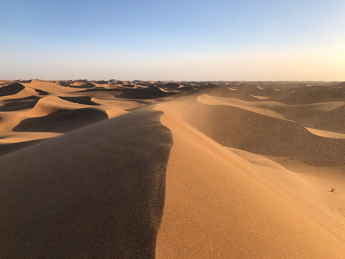
Height is where the internet gets carried away. The Souss-Massa regional tourism board, Wikivoyage and Wikipedia all put the tallest dunes here at about 50 to 60 m above the surrounding plain. Wikipedia’s page on M’hamid says some pass 100 m. A “300 m” figure appears on several travel sites and in Lonely Planet’s French edition, but we found no survey or elevation data that supports it, so treat it as a story rather than a statistic.
For comparison, Erg Chebbi’s highest dunes reach about 150 m. So Chigaga is the bigger sand sea, and Chebbi has the taller dunes. Our Erg Chebbi vs Erg Chigaga comparison goes through what that means for a trip.
Why the erg is so remote
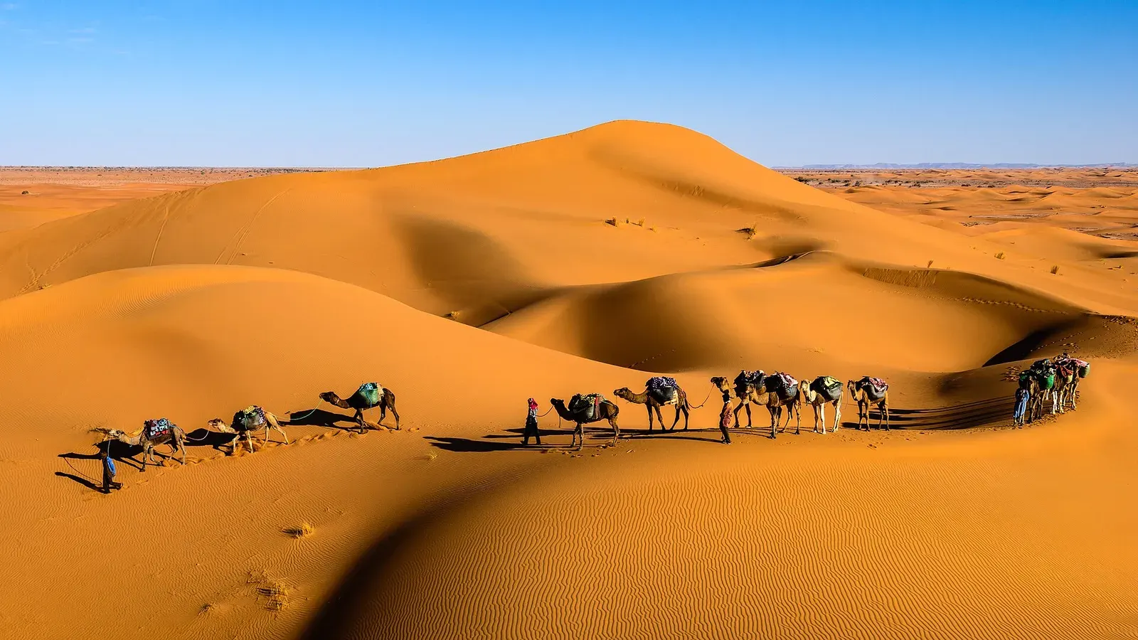
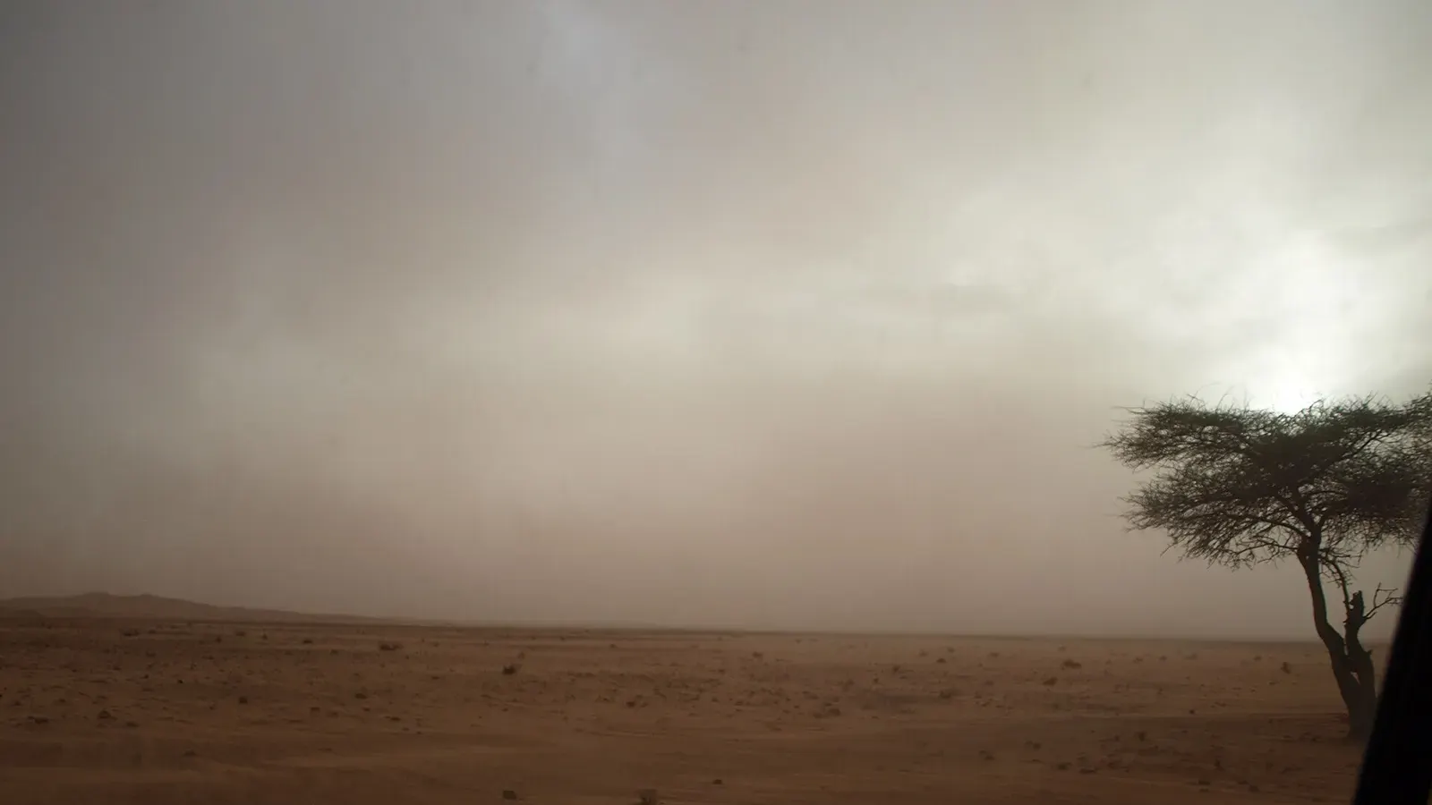
The tarmac stops at M’hamid. From there, the classic route is a 50 to 60 km piste heading west. It crosses hamada strewn with sharp stones, patches of fine powdery sand known locally as fech-fech, and dry lake beds that can turn to mud after rain. Lonely Planet France gives under 2 hours by 4x4, Le Petit Journal about 2 hours, and Dangerous Roads 2 to 3 hours. On a camel, the same journey takes about three days.
From the west, the track from Foum Zguid runs past Lake Iriqui and reaches the dunes after roughly 60 to 100 km, depending on the camp. The Souss-Massa tourism board says a 4x4 is mandatory for this crossing, and the full traverse from Foum Zguid to M’hamid takes 5 to 6 hours.
There are no villages, shops or fuel stations inside the erg, so everything you need comes in with your driver.
Erg Chigaga desert camps: what to expect
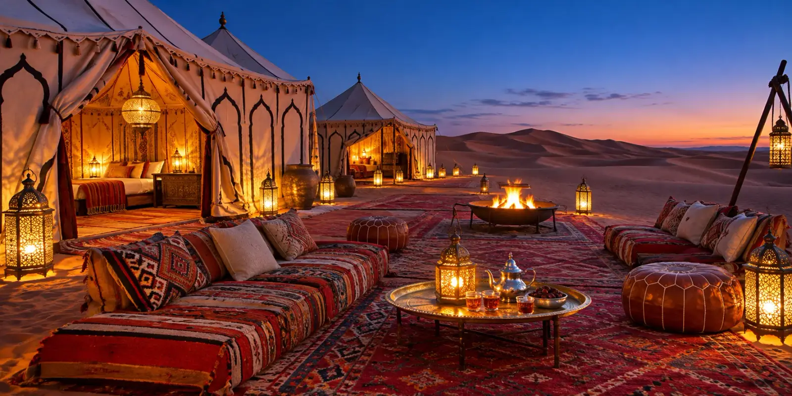
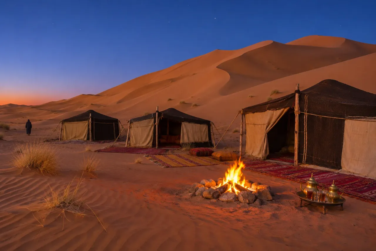
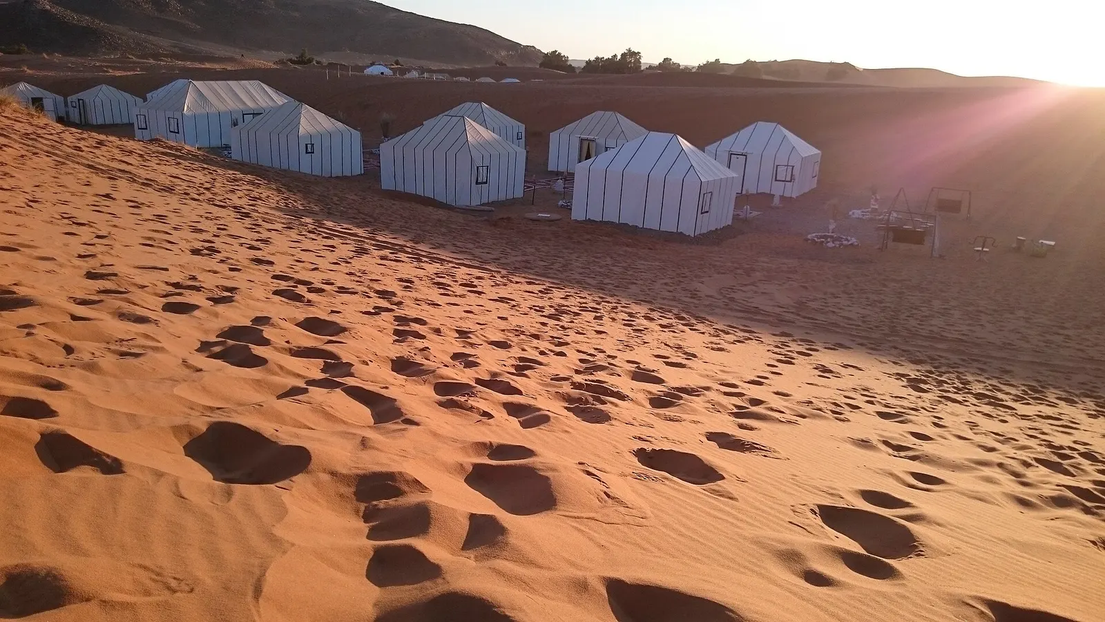
Every camp here is a temporary or semi-permanent bivouac, since there is no village to stay in. Most sit along the eastern and northern edges of the dunes, which are the closest parts to M’hamid. Comfort varies more than the photos suggest, and the categories break down roughly like this:
| Camp type | What you usually get |
|---|---|
| Simple nomad-style camp | Camel-hair or canvas tents, mattresses or basic beds, shared toilets and showers, dinner around a fire |
| Mid-range camp | Proper beds, private bathroom in or beside the tent, solar lighting |
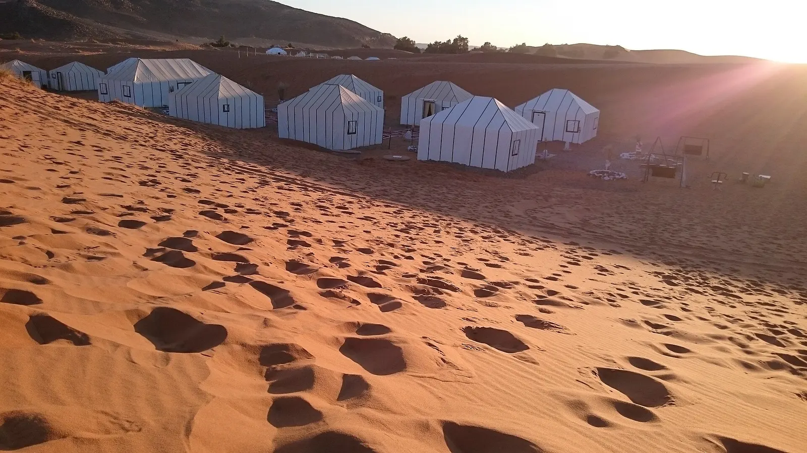
| Luxury camp | Larger furnished tents with en-suite bathrooms and more services, at a much higher price |
Le Petit Journal notes that some camps have beds, toilets and solar electricity while others stay rustic, and the 22places guide found less difference between tiers than prices suggest. Breakfast is often included; check whether dinner is, because there are no restaurants in the desert.
One warning: some online listings that carry the name “Chigaga” are close to M’hamid, about 50 km from the big dunes. Check the location on a map before you pay. If you want a more comfortable stay, our page on the Erg Chigaga luxury desert camp explains what that option involves.
Things to do in Erg Chigaga
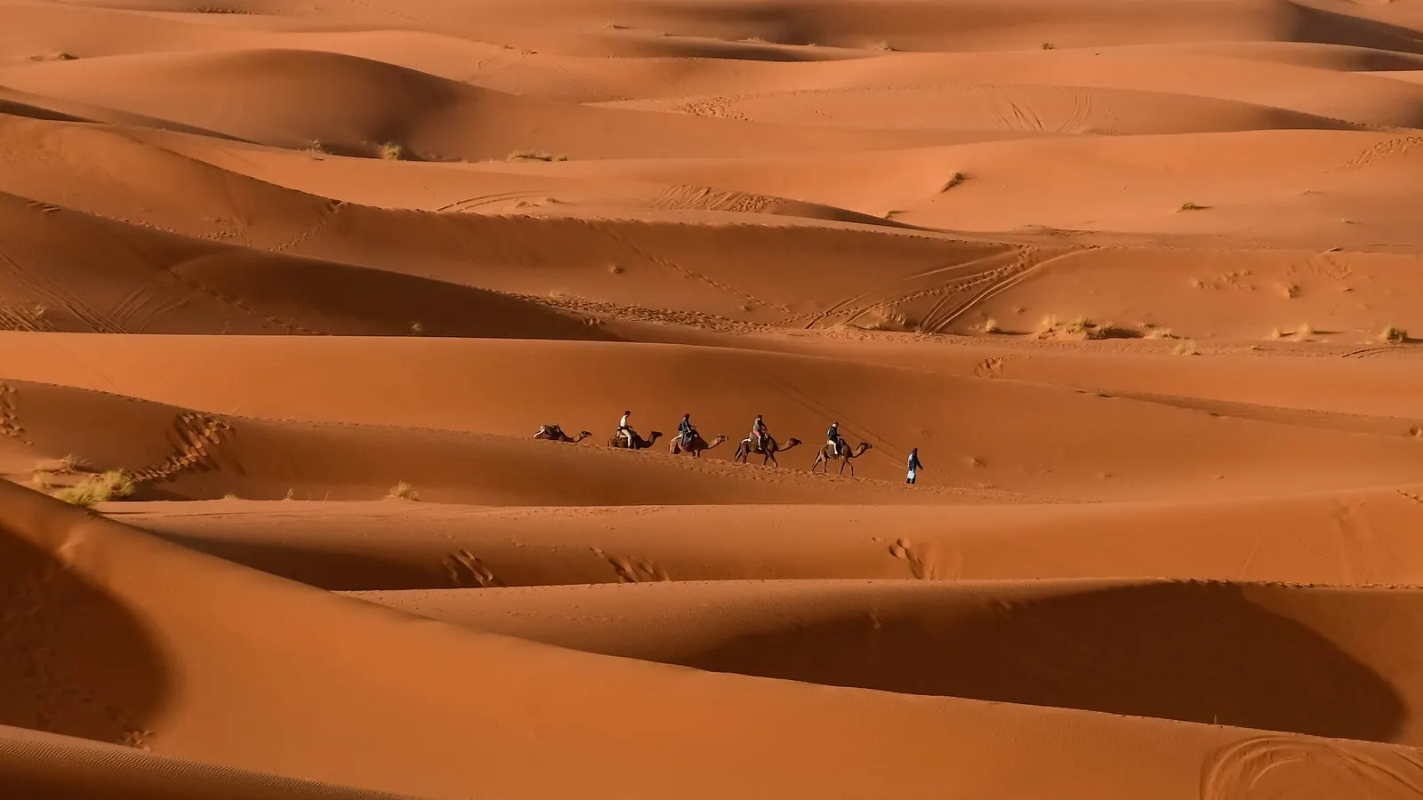
Days here are simple. A camel ride at sunset is offered by most camps, and a camel trek from M’hamid to the erg takes about three days. Wikivoyage also lists 4x4, motorbike and quad excursions in the dunes; do them with a guide, because tracks look alike after a few kilometres.
Climbing one of the high crests is free and needs no booking. Go before sunrise or in the late afternoon, when the sand is cool and the low light picks out every ridge. At night, with no town anywhere near, the sky is dark enough to see the Milky Way clearly when the moon is down.
If you leave by the Foum Zguid track, you cross Lake Iriqui, a dry lake several kilometres wide. In wet winters it can hold a few centimetres of water, and the regional tourism board says flamingos and wild geese sometimes stop there.
Erg Chigaga weather and the best time to visit
The nearest climate averages come from M’hamid, at the eastern edge of the region. WeatherSpark and Weather and Climate give similar averages:
| Month | Average high | Average low |
|---|---|---|
| January | 19 to 21°C | 5 to 7°C |
| March | 27 to 28°C | about 12°C |
| April | 31 to 32°C | about 16°C |
| June | 40 to 41°C | about 24°C |
| July | 43 to 45°C | 28 to 29°C |
| October | 31 to 32°C | about 18°C |
| November | 24 to 26°C | about 11°C |
| December | 20 to 22°C | about 6°C |
Rain is rare, around 46 mm a year according to Weather and Climate. October to April is the comfortable season, with spring and autumn the easiest. December to February brings sunny days and cold nights, so bring a fleece and a hat. From June to September, the heat makes the long drive and any dune walking hard work. After autumn rain, the Lake Iriqui section of the Foum Zguid route can turn muddy, so ask your driver about conditions before you set off.
How many days do you need?
From Marrakech, M’hamid is 446 to 448 km by road, which route planners put at 7 h 40 to 8 h 40 of driving before you even start the piste. Realistically:
- 3 days from Marrakech is the minimum: one long drive south, one night in the dunes, one long drive back. It works, but you spend most of it in the car.
- 4 days gives you two nights in the desert, which 22places recommends, or one night in the Drâa valley on the way down.
- From Zagora or M’hamid, a one-night trip is easy, since the dunes are only a few hours away.
If you have only two days from Marrakech, neither of Morocco’s big ergs is realistic: Erg Chebbi is even further by road. The short options are Agafay or the small dunes near Zagora, with far less sand and far more company.
Is Erg Chigaga safe?
The main risks come from the environment rather than from people. Heat, getting lost, getting stuck in sand and breaking down far from help are the real concerns, and all of them shrink a lot with an experienced local driver. Phone coverage is patchy and you should not count on mobile data at camp. As of November 2026, France’s foreign ministry asks travellers to stay vigilant near the southern border with Algeria, which lies a short distance south of M’hamid and is closed. Stay on known tracks with a guide. Our guide on whether the Sahara desert in Morocco is safe goes further.
Is Erg Chigaga worth it?
It is worth it if you want space and quiet, with no other camp in sight at night, and if you can give it at least three days from Marrakech. It is not the right choice for a short break: the drive is long and the dunes, though vast, are lower than Erg Chebbi’s. Travellers who have already seen Merzouga often find Chigaga the quieter, wilder second desert. First-timers with limited time sometimes do better at Chebbi.
Plan your trip
- Read how to get to Erg Chigaga for both routes, a drive-time table and honest advice on self-driving.
- See Erg Chigaga tours for guided trips from Marrakech, Zagora or M’hamid.
- Read about the M’hamid El Ghizlane oasis if you plan to spend a night there before or after the dunes.
Frequently asked questions
How far is Erg Chigaga from Marrakech?
By road it is 446 to 448 km from Marrakech to M'hamid, the last village on the tarmac, which route planners put at roughly 7 h 40 to 8 h 40 of driving. Add 50 to 60 km of 4x4 piste, another 1.5 to 3 hours. The alternative via Foum Zguid is 311 to 317 km of road plus 60 to 100 km of track. Either way, plan on a full day or split the trip over two.
How far is Erg Chigaga from Mhamid?
The main dunes start about 50 to 60 km west of M'hamid El Ghizlane, and Wikipedia and Lonely Planet both give about 56 km to the heart of the erg. There is no road, only a 4x4 piste across stony hamada, sandy stretches and dry lake beds. With an experienced local driver the crossing usually takes between 1.5 and 3 hours, depending on the camp and the state of the sand.
How high are the dunes in Erg Chigaga?
The tallest dunes stand about 50 to 60 m above the surrounding plain, according to the regional tourism board of Souss-Massa, Wikivoyage and Wikipedia. Some websites quote 100 m or even 300 m, but we found no measurement that supports those numbers. Erg Chigaga is the larger sand sea, while Erg Chebbi near Merzouga has the higher dunes, up to about 150 m.
Can you drive yourself to Erg Chigaga?
Not in a normal car. You can drive any rental car on the paved N9 to M'hamid or on the road to Foum Zguid, but the last stretch is an unmarked desert track where a 4x4 is required. Even with a capable 4x4, tracks split, soft sand traps vehicles and there is little phone signal, so most travellers leave their car in M'hamid and ride with a local driver.
Is there mobile signal in Erg Chegaga?
Coverage is patchy. You may pick up a weak signal in places, usually with Maroc Telecom, which travellers report as the most reliable network in the south, but expect long stretches with none and do not count on mobile data at camp. Download offline maps before you leave M'hamid or Foum Zguid, and tell someone your plans if you travel without a guide.
What is the best time to visit Erg Chigaga?
October to April is the comfortable season. Average highs at M'hamid run from about 19°C in January to 31°C in April and October, though winter nights drop to around 5 to 7°C, so pack a warm layer. From June to September, average highs pass 40°C, which makes the drive and any dune walking hard work outside early morning and evening.
Which Erg Chigaga camp accepts independent travellers?
Most camps take direct bookings from independent travellers and arrange the 4x4 transfer from M'hamid, where you can usually leave your car. Before you book, check on a map that the camp really sits in the Erg Chigaga dunes: some listings use the name but are near M'hamid, about 50 km away. Ask what the transfer costs, whether dinner is included, and whether bathrooms are private or shared.
Sources we checked
- Erg Chigaga (Wikipedia)
- Iriqui National Park (Wikipedia)
- Parc National d'Iriqui (Explore Agadir Souss Massa, regional tourism board)
- Parc National d'Iriqui: traversée Foum Zguid - M'Hamid (Explore Agadir Souss Massa)
- Iriqui National Park (National Parks Africa)
- M'Hamid El Ghizlane (Wikipedia)
- M'Hamid travel guide (Wikivoyage)
- Erg Chigaga, M'Hamid la dernière oasis (Lonely Planet France)
- Erg Chebbi (Wikipedia)
- Erg Chigaga and Parc National d'Iriqui map data (OpenStreetMap)
- Average weather in Mhamid (WeatherSpark)
- Mhamid climate averages (Weather and Climate)
- Marrakesh to Mhamid route (Rome2rio)
- Erg Chegaga desert guide (22places)
- Erg Chegaga, voyage au cœur du désert marocain (Le Petit Journal Maroc)
- Driving the off-road track from M'Hamid to Erg Chigaga (Dangerous Roads)
- Mobile internet in Morocco (camper.help)
Keep exploring
Related pages
 How to get to Erg ChigagaHow to get to Erg Chigaga: the M'hamid and Foum Zguid pistes, drive times from Marrakech, Ouarzazate, Zagora and Agadir, and the truth about self-driving.Read the guide
 Mhamid MoroccoMhamid Morocco guide: where the N9 ends, how to get there from Zagora or Marrakech, nearby dunes, the 4x4 piste to Erg Chigaga, weather and festivals.Read the guide
 Erg Chebbi vs Erg ChigagaErg Chebbi vs Erg Chigaga, compared honestly: access, drive times from Marrakech and Fes, dune height, crowds, camps and who each desert suits.Read the guide
 Lake IrikiLake Iriki guide: the dry lake in Iriqui National Park, the 2024 floods, mirages, real wildlife odds, and the 4x4 piste from Foum Zguid to Erg Chigaga.Read the guide
 Camping in Morocco desertCamping in Morocco desert: nomad, standard and luxury camps, what a night is really like, night temperatures, wild camping rules and how to vet a listing.Read the guide
 Morocco desert activitiesMorocco desert activities by place and season: camel rides and treks, 4x4, quads, sandboarding, dune walks, Gnawa music, fossils, festivals and balloons.Read the guide
 Luxury desert camp MoroccoLuxury desert camp Morocco guide: en-suite tents, heating and power, where the camps cluster, honest trade-offs and what to check before you book.Read the guide