Travel guide
Distance from Marrakech to Sahara desert camps: the real kilometres and hours
The distance from Marrakech to Sahara desert dunes is 350 to 560 km by road, depending on which desert you pick, and none of them is a day trip. Zagora, on the edge of the desert, is about 350 km away. Erg Chigaga is roughly 500 km once you add the last stretch of 4x4 piste, and Merzouga, beside the Erg Chebbi dunes, is 534 to 560 km. The only desert close to the city is Agafay, 30 to 40 km out, and it is a stony desert, not the Sahara.
Distance from Marrakech to Sahara desert, destination by destination
Online figures for this question vary a lot, partly because people mean different places by “the Sahara”. To give you honest numbers, we compared Rome2rio with the open-source OSRM route planner, which runs on OpenStreetMap roads, and checked them against published road guides. Where they disagree, you get the range. Driving times are without stops; the last column is what we suggest you allow for photo stops, fuel and a meal.
| From Marrakech to | What you find there | Road distance | Driving time (no stops) | Allow with stops |
|---|---|---|---|---|
| Agafay | Stony desert, no dunes | 27 to 40 km | 30 min to 1 h | 1 h |
| Ouarzazate | Gateway town, no dunes | 196 to 198 km | 3 h 20 to 3 h 50 | 4.5 to 5 h |
| Foum Zguid | Gateway to Erg Chigaga from the west | 311 to 317 km | 5 h to 5 h 45 | 6.5 to 7 h |
| Zagora | Drâa palm groves, small dunes nearby | 349 to 360 km | 6 h to 6 h 40 | 7.5 to 8 h |
| Tata | Pre-Saharan oasis town | 360 to 450 km, by route | 5 h 45 to 6 h 40 | 7.5 to 8 h |
| M’hamid | End of the road, edge of the dunes | 446 to 448 km | 7 h 40 to 8 h 40 | 9.5 to 10 h |
| Erg Chigaga | High dunes, no village | 446 to 448 km + 50 to 60 km of piste | road time + 2 to 3 h of piste | Split over 2 days |
| Merzouga (Erg Chebbi) | High dunes beside a village | 534 to 560 km | 8 h 30 to 10 h | Split over 2 days |
A few notes on the table. Tata has the widest range because route planners choose different roads across the mountains: some send you southwest toward Taroudant, others over the Tizi n’Tichka and through Foum Zguid. The Erg Chigaga line assumes you go through Zagora and M’hamid, which is how most visitors arrive. Via Foum Zguid, the paved part is shorter (311 to 317 km) but the piste is longer, about 60 to 100 km past Lake Iriki.
Distances from Agadir, Ouarzazate and Fes
Not everyone starts in Marrakech. These are the same kind of figures, Rome2rio and OSRM side by side, for the other usual starting points.
| Route | Road distance | Driving time (no stops) |
|---|---|---|
| Agadir to Tata | 251 to 254 km | 4 h to 4 h 30 |
| Agadir to Ouarzazate | 340 to 341 km | 5 h 10 to 5 h 50 |
| Agadir to Foum Zguid | 353 to 356 km | 4 h 50 to 5 h 30 |
| Agadir to Zagora | 445 to 470 km | 6 h 40 to 7 h 10 |
| Agadir to Merzouga | 648 to 650 km | 10 h to 11 h 30 |
| Ouarzazate to Zagora | 157 to 165 km | 2 h 40 to 3 h |
| Ouarzazate to Foum Zguid | 151 to 153 km | 2 h 40 to 3 h |
| Ouarzazate to M’hamid | 252 to 260 km | 4 h 25 to 5 h |
| Ouarzazate to Tata | 288 to 289 km | 4 h 45 to 5 h 20 |
| Ouarzazate to Merzouga | 354 to 359 km | 5 h 45 to 6 h 30 |
| Zagora to Merzouga | 272 to 289 km | 5 h 10 to 5 h 40 |
| Fes to Merzouga | 456 to 461 km | 7 h 15 to 8 h 10 |
| Fes to Zagora | 631 to 650 km | 10 h 30 to 11 h 40 |
From Agadir, the western desert is the realistic target: Foum Zguid and Tata are within a long day’s drive, and Erg Chigaga is reachable from Foum Zguid. From Fes, Merzouga is far closer than any of the southern dunes. Our Agadir desert tours page covers trips from the coast.
The Tizi n’Tichka pass
Every road route from Marrakech to Ouarzazate, Zagora, M’hamid or Merzouga goes over the High Atlas, and almost everyone uses the N9 over the Tizi n’Tichka. The French military built the road along an old caravan trail in 1936. The sign at the top says 2,260 m, but a GPS reading taken in November 2022, confirmed by Google Earth, puts the highest point at about 2,205 to 2,207 m. Either way, it is the high point of your trip.
The road is paved all the way, with long sections of hairpins on both sides. Recent work has widened and walled some stretches, but trucks and buses still slow everyone down on the climbs, so allow more time than a route planner suggests. In winter, snow can close the pass: on 16 December 2025, traffic was stopped completely at the Tichka after a night of heavy snow. If you travel between December and March, check conditions the evening before and carry warm clothes in the car.
Check official travel advice as well. As of November 2026, Spain’s foreign ministry advises Spanish travellers not to go to the provinces of Al Houz (Al Haouz) and Taroudant, where access is still difficult after the September 2023 earthquake, and the N9 crosses Al Haouz on its climb to the Tichka. Read your own government’s advice for Morocco before you set off.
The Marrakech to Ouarzazate distance, 196 to 198 km, is the slow part of any desert trip. The road south of Ouarzazate is flatter and faster. See our guide to the Ouarzazate to Zagora road for that section.
Road conditions south of the Atlas
Paved national roads reach Ouarzazate, Zagora, M’hamid, Foum Zguid, Tata and Merzouga. An ordinary car is fine on all of them. The asphalt ends at M’hamid on the eastern side and at Foum Zguid on the western side, and from there to Erg Chigaga you are on piste.
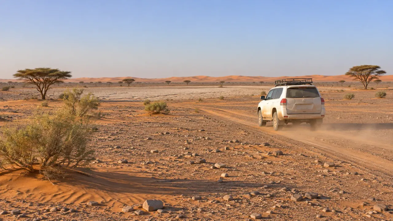
The track from M’hamid is about 50 km by one measurement (other sources give up to 60 km) over soft sand, stony hamada and dry lake beds. Dangerous Roads describes it as high-clearance 4x4 only, and it takes at least 2 to 3 hours. The western crossing from Foum Zguid to M’hamid via Lake Iriki and Erg Chigaga takes 5 to 6 hours, also in a 4x4, and after the wetter months (October to December) the lake bed can turn into mud that traps vehicles. Unless you have real sand-driving experience and recovery gear, use a local driver. Our guide on how to get to Erg Chigaga goes through both pistes in detail.
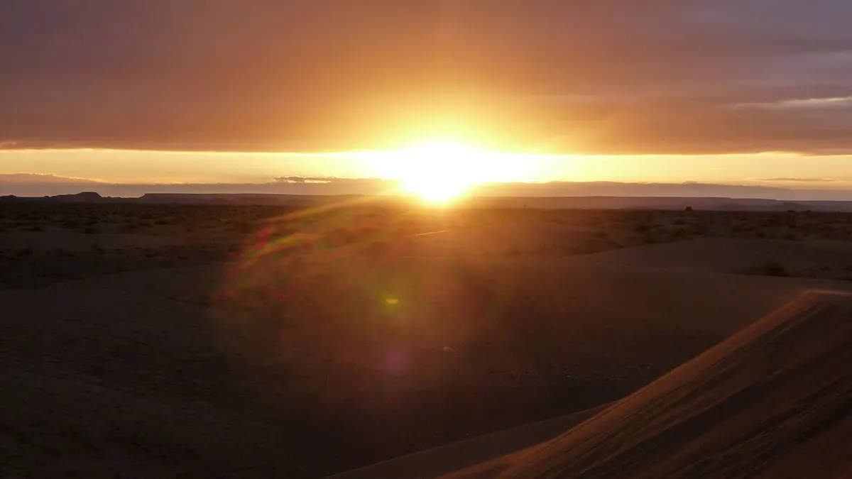
How long from Marrakech to Sahara desert trips really take
The kilometres explain the usual trip lengths. A 2-day trip from Marrakech can only reach Zagora or its small Tinfou dunes, and you spend most of both days in the vehicle. Erg Chigaga and Merzouga need at least three days, because each is a full day’s drive in each direction. If you want the big dunes with less time in the car, Erg Chigaga is slightly closer to Marrakech, while Merzouga is the easier choice if you are also visiting Fes. Our comparison of Erg Chebbi vs Erg Chigaga weighs up the two.
Avoid driving these roads at night. Distances between towns are long, and village streets, livestock and unlit vehicles make the last hour after sunset the most tiring part of the day.
Bus from Marrakech to the desert
Morocco’s railway ends at Marrakech, so everything further south is by road. As of November 2026, these are the bus options we could confirm on operator-linked listings:
| Route | Operators | Time | Departures |
|---|---|---|---|
| Marrakech to Ouarzazate | CTM, Supratours, private companies | 4 to 5 h | Many per day |
| Marrakech to Zagora | CTM, Supratours | about 7 to 7 h 50 | About 4 per day |
| Ouarzazate to Zagora | CTM | about 3 h | 2 per day |
| Fes to Merzouga | Supratours | about 10 to 11 h | 1 per day |
For the Marrakech to Zagora bus, CheckMyBus listed both companies with departures from late morning to mid-afternoon, plus night services, in mid-November 2026. We could not confirm a direct daily bus from Marrakech to Merzouga: Rome2rio routes it through Meknes or Errachidia, while some travel blogs mention a direct Supratours coach. Check oncf-voyages.ma (Supratours) or the CTM website before you plan around it. For M’hamid, aggregators list only shared taxis for the last 95 km from Zagora, although CTM has run a direct Marrakech to M’hamid bus (stop: Lamhamid Ghozlane); check ctm.ma for the current timetable.
Flights to Ouarzazate, Zagora and Errachidia
Flying can save a long drive, but routes are thin and change by season. This is what we found as of November 2026:
- Ouarzazate (OZZ): Royal Air Maroc flies from Casablanca, Ryanair from Barcelona and Marseille, and Transavia from Paris-Orly. There is no direct flight from Marrakech; Rome2rio routes it through Casablanca.
- Zagora (OZG): aggregators list a Royal Air Maroc link with Casablanca at one or two flights a week, but when we checked in November 2026, Royal Air Maroc’s own site listed fares only for a few dates, in December 2026 and April 2027. Don’t build a trip around it without a confirmed booking.
- Errachidia (ERH): Royal Air Maroc flies from Casablanca and Rabat, and Ryanair has flown from Marrakech since April 2024 (two flights a week at launch, still listed in November 2026). Errachidia is the closest airport to Merzouga, about 2 to 3 hours away by road or Supratours bus.
Plan your route
- Compare the near-city option with the real Sahara in our guide to the Agafay desert.
- Read about Zagora and Erg Chigaga before choosing your dunes.
- If you would rather not drive, see our Marrakech desert tours.
Frequently asked questions
How far is the Sahara desert from Marrakech?
It depends which part you mean. Zagora, where the pre-Saharan Drâa valley meets the desert, is about 350 km away. The big dune seas are further: Erg Chigaga is 446 to 448 km of road to M'hamid plus 50 to 60 km of piste, and Merzouga, beside Erg Chebbi, is 534 to 560 km away. Agafay, 30 to 40 km from Marrakech, is a stony desert and not part of the Sahara.
How long from Marrakech to Sahara desert dunes?
Route planners give about 6 to 6 h 40 of driving to Zagora, 7 h 40 to 8 h 40 to M'hamid and 8.5 to 10 hours to Merzouga, without stops. Add photo stops, lunch and the Tizi n'Tichka climb, and real days are one to two hours longer. That is why most trips to Erg Chigaga or Merzouga take at least three days from Marrakech.
How far is Agafay desert from Marrakech?
Agafay starts about 30 km southwest of Marrakech. Rome2rio measures 27 km of road, and most guides say 35 to 40 km depending on which camp you are going to. The drive takes 30 minutes to an hour. Agafay is a rocky desert of bare hills with the High Atlas in the background, not sand dunes.
How far is Erg Chigaga from Marrakech?
Via M'hamid it is 446 to 448 km of paved road and then 50 to 60 km of piste, so roughly 500 km in total. The road part alone is 7 h 40 to 8 h 40 of driving, and the piste takes another 2 to 3 hours in a 4x4. Via Foum Zguid it is 311 to 317 km of road and then about 60 to 100 km of piste past Lake Iriki.
How far is the Sahara desert from Agadir, Morocco?
From Agadir, Foum Zguid, the western gateway to Erg Chigaga, is 353 to 356 km away, about 4 h 50 to 5 h 30 of driving. Zagora is 445 to 470 km (6 h 40 to 7 h 10) and Merzouga about 650 km, a drive of 10 to 11.5 hours. Tata, a pre-Saharan oasis town, is the closest at 251 to 254 km.
How to get to the Sahara desert from Marrakech without a car?
As of November 2026, CTM and Supratours both run buses from Marrakech to Zagora (about 7 hours) and to Ouarzazate (about 4 to 5 hours). Beyond Zagora, aggregators list only taxis to M'hamid, and the pistes to Erg Chigaga need a 4x4 with a local driver. Many travellers book a tour or a private transfer instead.
Is there a train from Marrakech to the desert?
No. Marrakech is the southern end of Morocco's rail network. Places further south, including Ouarzazate, Zagora and Merzouga, are reached by road. Supratours, the bus company linked to the national railway ONCF, runs coach connections from Marrakech, and its timetables are published on oncf-voyages.ma.
Sources we checked
- Marrakech to Zagora (Rome2rio)
- Marrakech to Merzouga (Rome2rio)
- Marrakech to M'Hamid El Ghizlane (Rome2rio)
- Marrakech to Ouarzazate (Rome2rio)
- Marrakech to Foum Zguid (Rome2rio)
- Agadir to Zagora (Rome2rio)
- Fes to Merzouga (Rome2rio)
- Project OSRM route planner (OpenStreetMap data)
- Distance Agadir to Tata (Planderoute)
- Tizi n'Tichka (Wikipedia)
- Fermeture du col de Tichka suite à de fortes neiges (TelQuel, 16 December 2025)
- Off-road track from M'Hamid to Erg Chigaga (Dangerous Roads)
- Parc national d'Iriqui, traversée Foum Zguid M'hamid (Explore Agadir Souss Massa)
- Marrakesh to Zagora buses (CheckMyBus)
- Rail transport in Morocco (Wikipedia)
- Ouarzazate Airport (Wikipedia)
- Moulay Ali Cherif Airport, Errachidia (Wikipedia)
- Ryanair inaugure sa liaison Marrakech Errachidia (TelQuel, April 2024)
- Recomendaciones de viaje: Marruecos (Spanish Ministry of Foreign Affairs, in Spanish)
Keep exploring
Related pages
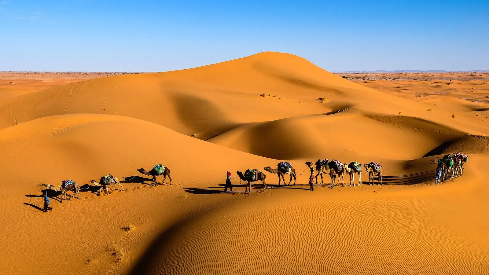 Sahara desert MoroccoSahara desert Morocco guide: where the real dunes are, erg vs hamada, the Drâa and Merzouga routes, drive times and how many days you need.Read the guide
 How to get to Erg ChigagaHow to get to Erg Chigaga: the M'hamid and Foum Zguid pistes, drive times from Marrakech, Ouarzazate, Zagora and Agadir, and the truth about self-driving.Read the guide
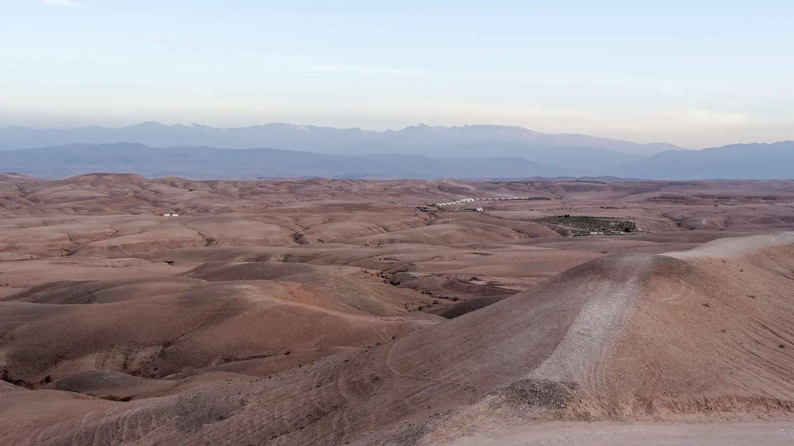 Agafay desert MoroccoAgafay desert Morocco: a stony semi-desert 30 to 40 km from Marrakech, not the Sahara. Distance, camps, what to do, and when Erg Chigaga is a better pick.Read the guide
 Best time to visit Sahara desert MoroccoThe best time to visit Sahara desert Morocco is October to November and February to April. Month-by-month temperatures, wind, Ramadan 2027, festivals.Read the guide
 Is the Sahara desert in Morocco? Yes, and this is where it startsIs the Sahara desert in Morocco? Yes, in the south-east. A map table of the ergs, hamada, Agafay and Western Sahara, plus drive times from Marrakech.Read the guide
 Things to do in Ouarzazate, the desert gateway south of the High AtlasThings to do in Ouarzazate: Taourirt Kasbah, Atlas Studios, Aït Benhaddou, the Fint and Skoura oases, plus weather, transport and how long to stay.Read the guide