
Destination guide
Tata Morocco: oasis country at the edge of the Sahara
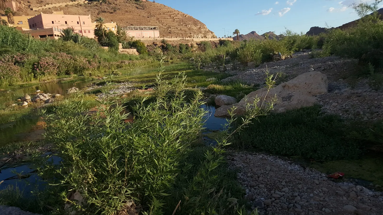
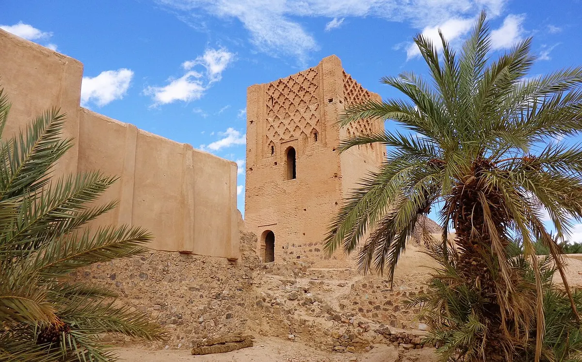
Photo: Farssali, CC BY-SA 4.0, via Wikimedia Commons (Wiki Loves Earth 2017)
Tata Morocco is the kind of place most travellers reach almost by accident: the oasis town where the long road from Agadir meets the Jbel Bani, roughly halfway between the Atlantic and the Drâa valley. It is the capital of Tata province, a quiet place of palm groves, earth-walled villages and some of the best prehistoric rock engravings in the country. It is not a sand-dune destination. People come for the oases and the rock art, and for the drive along the Jbel Bani.
Where is Tata Morocco?
Tata lies south of the Anti-Atlas, where three wadis meet and cut through the long Jbel Bani ridge. Britannica describes the oasis as sitting in a canyon at the far north-western edge of the Sahara. The town stands at about 670 to 690 m above sea level and stretches along the Oued Tata, a tributary of the Drâa.
It is the seat of Tata province, in the Souss-Massa region whose capital is Agadir. The September 2024 census counted 19,544 people in the town and 111,757 in the province, which has 20 communes, among them Akka, Fam El Hisn, Foum Zguid and Tissint. The province runs south to the Algerian border, which is closed.
The N12 is the town’s lifeline. It runs west to Akka and on towards Guelmim, and east to Tissint, Foum Zguid and Zagora.
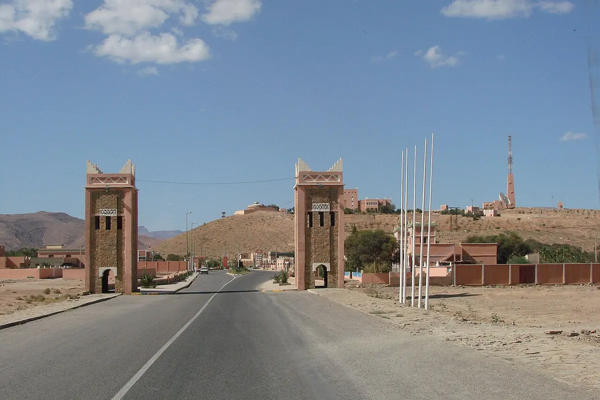
Tata distances and drive times
Figures cross-check Rome2Rio and OSRM (OpenStreetMap data) and the regional tourism board. Times are for driving without stops.
| From / to | Road distance | Driving time | Notes |
|---|---|---|---|
| Agadir | 253 to 255 km | 4 to 4.5 h | via Taroudant and Igherm |
| Guelmim | about 284 km | 4 h 10 to 4 h 35 | via the Anti-Atlas roads |
| Marrakech | about 360 to 440 km | 6.5 to 7.5 h | depends heavily on the route |
| Ouarzazate | about 290 km | about 5 h | via Foum Zguid and Tazenakht |
| Zagora | about 260 km | about 4 h | N12 east via Foum Zguid |
| Foum Zguid | about 137 km | 2 to 2 h 20 | N12 east via Tissint |
| Tissint | about 70 km | about 1 h | N12 east |
| Akka Ighane | about 50 to 70 km | about 1 h | N12 east, then north |
| Akka | about 63 km | about 1 h | N12 west |
Getting to Tata Morocco from Agadir
From Agadir, the fastest way is east towards Taroudant, then south over the Anti-Atlas via Igherm and down to Tata. The regional tourism board gives about 4 hours 25 for this route. A second, slower option goes through Biougra and Ait Baha towards Tafraout before swinging east, roughly an hour longer, with more mountain scenery.
By bus, Rome2Rio lists one Supratours departure a day from Agadir to Tata, taking about 5 hours 30 (as of November 2026). Check times at the station or on the Supratours website, as they change. Grand taxis link Tata with Akka and Foum Zguid. To get between Tata and the Drâa valley without a car you will be stitching together taxis, so most visitors drive or come on a tour.
The Tata oasis: ksour, khettaras and the water clock
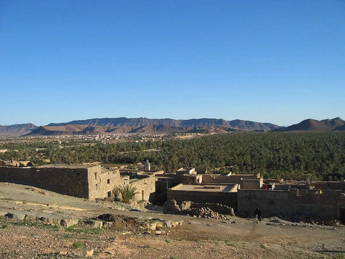
The oasis is the reason to stop. Palm groves run along the wadi in a belt of small fortified villages (ksour) built of earth. The regional tourism board lists about ten oasis villages around town, including Agadir Lehna, Indfiane, Taourirt and Tiguisselt, and singles out Agadir Lehna as the most impressive for its architecture.
Two pieces of old water engineering are still in use. Khettaras, underground channels dug into the slope, bring groundwater to the fields by gravity. And at Agadir Lehna a water clock (clepsydra) still measures out each family’s share of irrigation time.
Climb to the top of Agadir Lehna for a view over the palms, then follow the path down into the grove. The tourism board gives directions: head north from Tata towards Tleta Tagmoute and turn left just after the ford.
Things to do in Tata Morocco
Tata rewards an unhurried day or two. These are the things worth your time:
- Walk or cycle the oasis villages and palm groves, starting at Agadir Lehna and Indfiane.
- Visit the Messalite caves, about 7 km north of town on the Tleta Tagmoute road, signposted on the right.
- See the former Jewish quarter (mellah) of Tazart, an abandoned earth village south of Tata.
- Look at local crafts. The tourism board lists cooperatives selling dates, henna, pottery, basketry and rugs, and the Routard mentions Tata’s own pottery tradition.
- Drive to Akka for its palm grove, ksar and rock engravings (see below).
- Head east to the oasis of Tissint and its salt-water cascades.
Tata Morocco hotels are modest: guesthouses, small hotels and a few campsites rather than resorts. Book ahead in the winter high season.
Akka and the rock engravings near Tata
Akka, about 63 km south-west of Tata on the N12, is a palm oasis at a gap in the Jbel Bani. Its 2024 population was 5,575. Two sights justify the drive on their own.
Agadir Ouzrou is a fortified village on a rocky spur above the palm grove, about 5 km from the centre of Akka, with walls around 10 m high. According to the tourism board, its restoration was nominated for the Aga Khan Award for Architecture.
The Lalla Baytou Allah minaret stands at Agadir Amghar, in Ait Rahal north of Akka. The tourism board dates it to the Almohad period, in the 12th century.
Near Akka lies Tamdoult, a ruined medieval town about 13 km south-west of Akka that worked silver from nearby mines and traded across the Sahara. Medieval geographers such as al-Yaqubi and al-Bakri described it.
Tata Morocco rock engravings
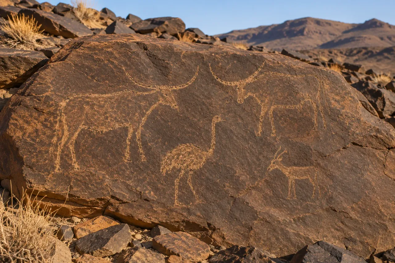
The province of Tata is one of Morocco’s main rock art areas. The regional tourism board counts more than 80 engraving sites across Jbel Bani and the Drâa territory, spread around the communes of Ait Ouabelli, Sidi Abdellah ben Mbark and Fam El Hisn. Two sites near Akka stand out:
| Site | Where | What you see |
|---|---|---|
| Oum El Alek | on the way into Akka, south of the Jbel Bani | small engraved animals (antelopes, ostriches, elephants, rhinoceroses) and human figures, including possible archers |
| Adrar Metgourine | about 12 km from Akka | around 700 engravings in the Bovidian style: cattle, African fauna, ostriches, metal axes |
The tourism board says the sites most worth visiting are the guarded and protected ones, and suggests asking in villages for directions. Metgourine needs an off-road vehicle on a rough track and about four hours for the visit. In practice, a local guide from Tata or Akka saves you a lot of wrong turns. Never touch, chalk or wet the engravings to make them show up in photos, because it damages them.
Tissint, Akka Ighane and the oasis road east
East of Tata the N12 follows the Jbel Bani to Tissint, about 70 km away. The village was a caravan stop and is known for salty water: the Oued Tissint falls in a series of small cascades into pools at the edge of the palm grove. The French explorer Charles de Foucauld stayed several weeks in its Jewish quarter during his 1883 to 1884 journey through Morocco, which he later described in Reconnaissance au Maroc. In July 2011 a meteorite from Mars fell in the region and was named after the village.
North-east of Tata, Akka Ighane has an old village with a restored monumental gate. About 5 km south-west of it, on the P1743, stand the ksar and collective granary of Tiskmoudine and the fortified granary of Agadir Aserghine. Further afield, the restored early 18th-century granary of Aït Kine is about 45 km from Tata.
The Tata to Akka to Foum Zguid route
This is the classic way to see Tata Morocco and its province in a loop, and the base of most Tata and Akka oasis tours. A typical plan:
- Day one: drive Agadir to Tata, about 4 to 4.5 hours, and walk the oasis in the late afternoon.
- Day two: morning trip to Akka (63 km each way) for Agadir Ouzrou and the rock engravings, then back to Tata.
- Day three: N12 east to Tissint for the cascades, then on to Foum Zguid, 137 km in total.
- From Foum Zguid, cross by 4x4 via Lake Iriki to the dunes of Erg Chigaga, or carry on by road to Zagora.
The whole N12 stretch is paved, with light traffic. Drive it by day; the regional tourism board and travellers both warn about heat in summer, and there are long gaps between villages.
Is Tata a desert destination?
Tata Morocco is in the desert, but it is not a dune destination. The country around town is black rock, gravel plain (hamada) and green oasis. You will see small sand patches and the “first dunes” the tourism board mentions, but nothing like the high dunes of Erg Chigaga or Merzouga.
Skipping it would be a mistake, though; just plan for what it is. If big dunes are the main point of your trip, use Tata as a night on the way and continue to Foum Zguid, the gateway to Erg Chigaga. If you like oases, earth architecture and rock art, Tata deserves two nights. Our Sahara desert Morocco guide explains how the different desert regions compare.
Tata Morocco weather by month
Tata has a hot, dry desert climate, and Tata Morocco weather is easy to read: hot summers, mild sunny winters, almost no rain. The table below uses ERA5 reanalysis averages for 2005 to 2024 (via Open-Meteo), rounded. Climate-Data.org gives similar figures: a July mean of about 34°C, a January mean of about 12°C, and around 64 mm of rain a year with February the wettest month.
| Month | Avg high | Avg low | Rain (mm) |
|---|---|---|---|
| January | 19°C | 7°C | 4 |
| February | 21°C | 9°C | 10 |
| March | 25°C | 11°C | 5 |
| April | 29°C | 15°C | 1 |
| May | 33°C | 18°C | 2 |
| June | 37°C | 22°C | 1 |
| July | 41°C | 26°C | 0 |
| August | 40°C | 26°C | 2 |
| September | 35°C | 21°C | 9 |
| October | 30°C | 17°C | 9 |
| November | 24°C | 12°C | 12 |
| December | 19°C | 8°C | 6 |
The regional tourism board warns that summer can exceed 45°C, and that the hot chergui wind can push it past 50°C. Winter nights drop below 10°C. October to April is the comfortable season, with spring and autumn the best for walking the oasis and visiting rock art sites in the sun.
Safety near the border
Tata province borders Algeria, and that border is closed. GOV.UK advises not to attempt to cross it, and the French foreign ministry places the area along the southern border with Algeria in its “vigilance renforcée” (heightened vigilance) category (as of November 2026). In practice, the towns and the N12 are calm, but off-road tracks towards the border are not a place to explore alone. Read our page on whether the Sahara desert in Morocco is safe before planning anything off the main roads.
Plan your trip
Tata fits best into a southern loop from Agadir. For organised trips from the coast, see the Agadir desert tours page, while the Foum Zguid guide and Lake Iriki guide cover the next stages east.
Frequently asked questions
Where is Tata in Morocco?
Tata is in the far south of Morocco, about 255 km south-east of Agadir by road. It sits in an oasis valley on the south side of the Anti-Atlas, where wadis cut through the Jbel Bani ridge, and it is the capital of Tata province in the Souss-Massa region. The N12 runs through town, linking it with Akka and Guelmim to the west and Foum Zguid and Zagora to the east.
How far is Tata from Agadir?
By road it is about 253 to 255 km, and route planners give roughly 4 to 4.5 hours of driving. The quickest route goes east to Taroudant, then south over the Anti-Atlas through Igherm. A slower, more scenic option runs through Ait Baha and the Tafraout area. Rome2Rio lists a daily Supratours coach from Agadir to Tata, taking about 5.5 hours (as of November 2026).
What is there to do in Tata, Morocco?
Tata is a place for slow travel. Walk or cycle through the palm groves and fortified villages such as Agadir Lehna and Indfiane, see the khettara channels and the water clock that still shares out irrigation time, visit the Messalite caves north of town, and drive to Akka for rock engravings, the Agadir Ouzrou ksar and a 12th-century minaret. Tissint's salt-water cascades are about an hour east.
Are there sand dunes near Tata?
Not big ones. The landscape around Tata is rock, gravel plain and palm oasis, with only small patches of sand. The nearest large dune field is Erg Chigaga, which you reach by driving 137 km east to Foum Zguid and then taking a 4x4 piste via Lake Iriki. If dunes are the main goal of your trip, treat Tata as a stop on the way rather than the destination.
What are the rock engravings near Akka?
The Akka and Tata area is one of the richest rock art regions in Morocco. The regional tourism board counts more than 80 engraving sites in the province. Two of the best known are Oum El Alek, near Akka, with figures of antelopes, rhinoceroses, elephants and human figures, and Adrar Metgourine, about 12 km from Akka, with around 700 engravings including cattle and metal axes. Go with a local guide, as sites are unmarked.
What is the weather like in Tata?
Tata has a hot desert climate with around 60 to 65 mm of rain a year. July averages highs of about 41°C and lows of 26°C, while January averages about 19°C by day and 7°C at night. The regional tourism board warns that the chergui wind can push summer temperatures above 50°C. October to April is the comfortable season to visit.
How far is Foum Zguid from Tata?
About 137 km along the N12, roughly 2 to 2 h 20 of driving on a paved road. The route runs east along the Jbel Bani through the oasis of Tissint, which is roughly halfway at about 70 km from Tata. There is no direct bus between the two towns, so most people drive or hire a grand taxi.
Sources we checked
- Tata, Morocco (Wikipedia)
- Tata (Maroc) (Wikipédia)
- Tata Province (Wikipedia)
- Tata province census results 2004 to 2024 (City Population, HCP data)
- Tata (Explore Agadir Souss Massa, regional tourism board)
- Tata oasis (Explore Agadir Souss Massa)
- Tata practical information (Explore Agadir Souss Massa)
- Heritage in the Tata region (Explore Agadir Souss Massa)
- Rock art: engravings of Jbel Bani (Explore Agadir Souss Massa)
- Metgourine site, rock engravings (Explore Agadir Souss Massa)
- Jbel Bani and its oases (Explore Agadir Souss Massa)
- Circuit 100% Oasis et Désert (Explore Agadir Souss Massa)
- Tata (Le Routard)
- Tata oasis (Encyclopaedia Britannica)
- The archers of Oum el Aleg, Morocco (TRACCE rock art bulletin)
- Tamdoult (Wikipedia)
- Agadir to Tata (Rome2Rio)
- Guelmim to Tata (Rome2Rio)
- Tata to Foum Zguid (Rome2Rio)
- Climate of Tata (Climate-Data.org)
- Historical weather API, ERA5 reanalysis 2005 to 2024 (Open-Meteo)
- Maroc: conseils aux voyageurs, sécurité (France Diplomatie)
Keep exploring
Related pages
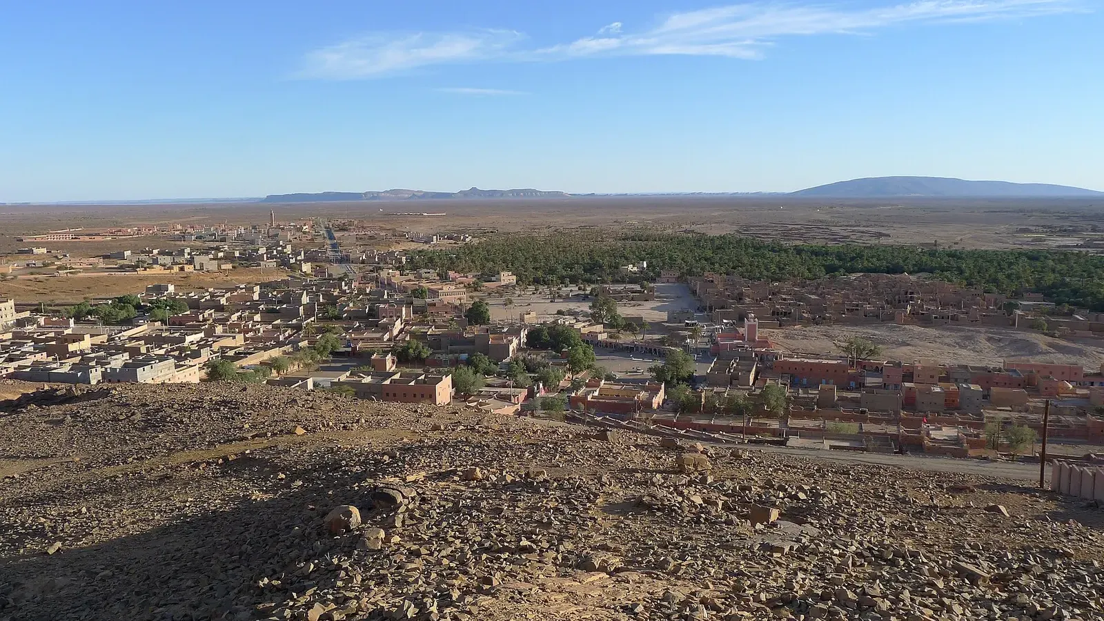 Foum ZguidFoum Zguid guide: where it is, drive times from Agadir, Marrakech and Zagora, the piste to Erg Chigaga via Lake Iriki, fuel, souk day and weather by month.Read the guide
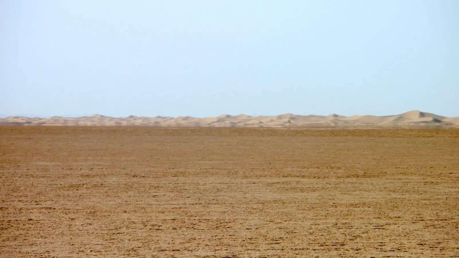 Lake IrikiLake Iriki guide: the dry lake in Iriqui National Park, the 2024 floods, mirages, real wildlife odds, and the 4x4 piste from Foum Zguid to Erg Chigaga.Read the guide
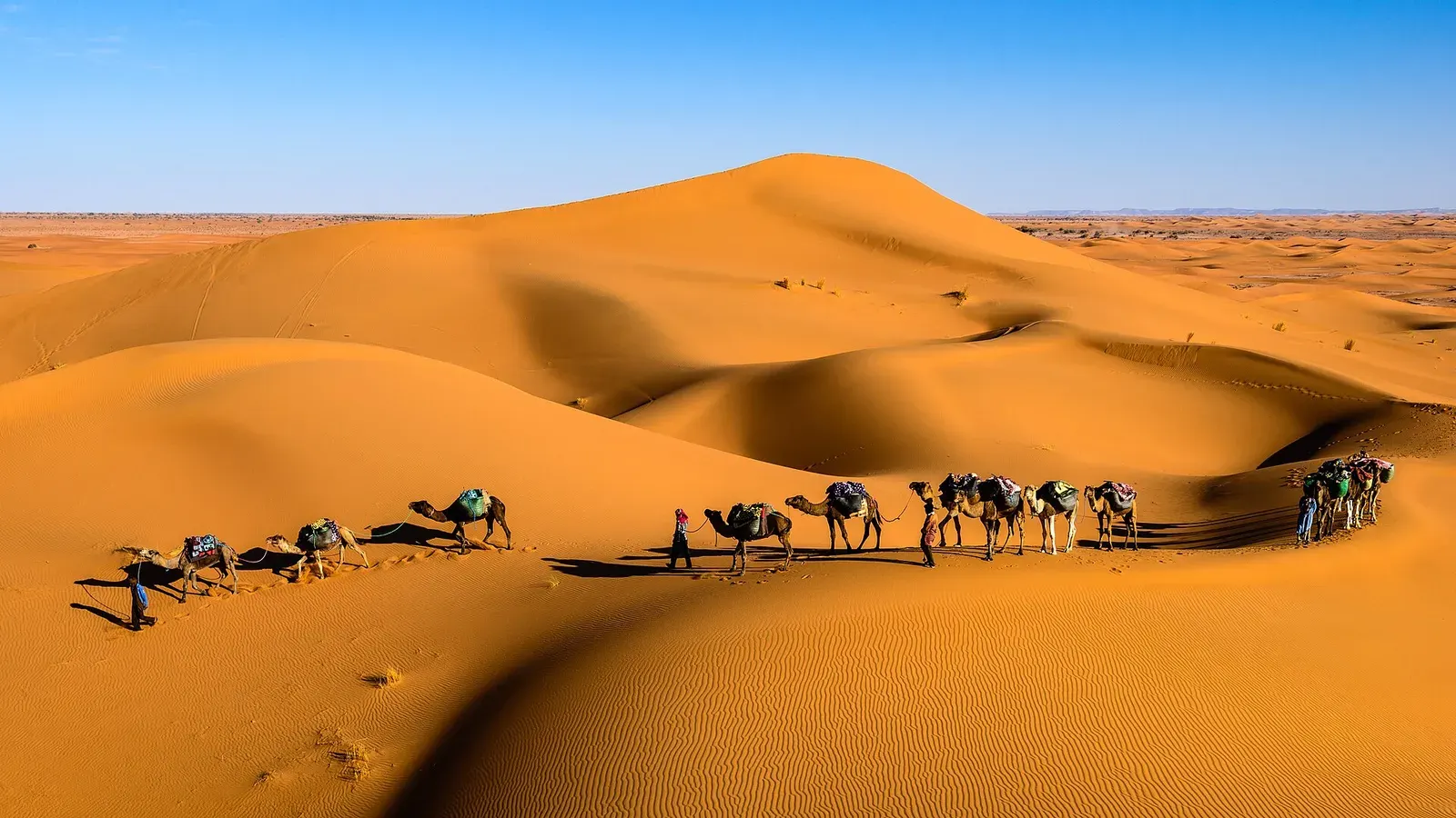 Erg ChigagaErg Chigaga guide: where it is, how high the dunes really are, the 4x4 piste from M'hamid, camp types, best months and how many days to plan.Read the guide
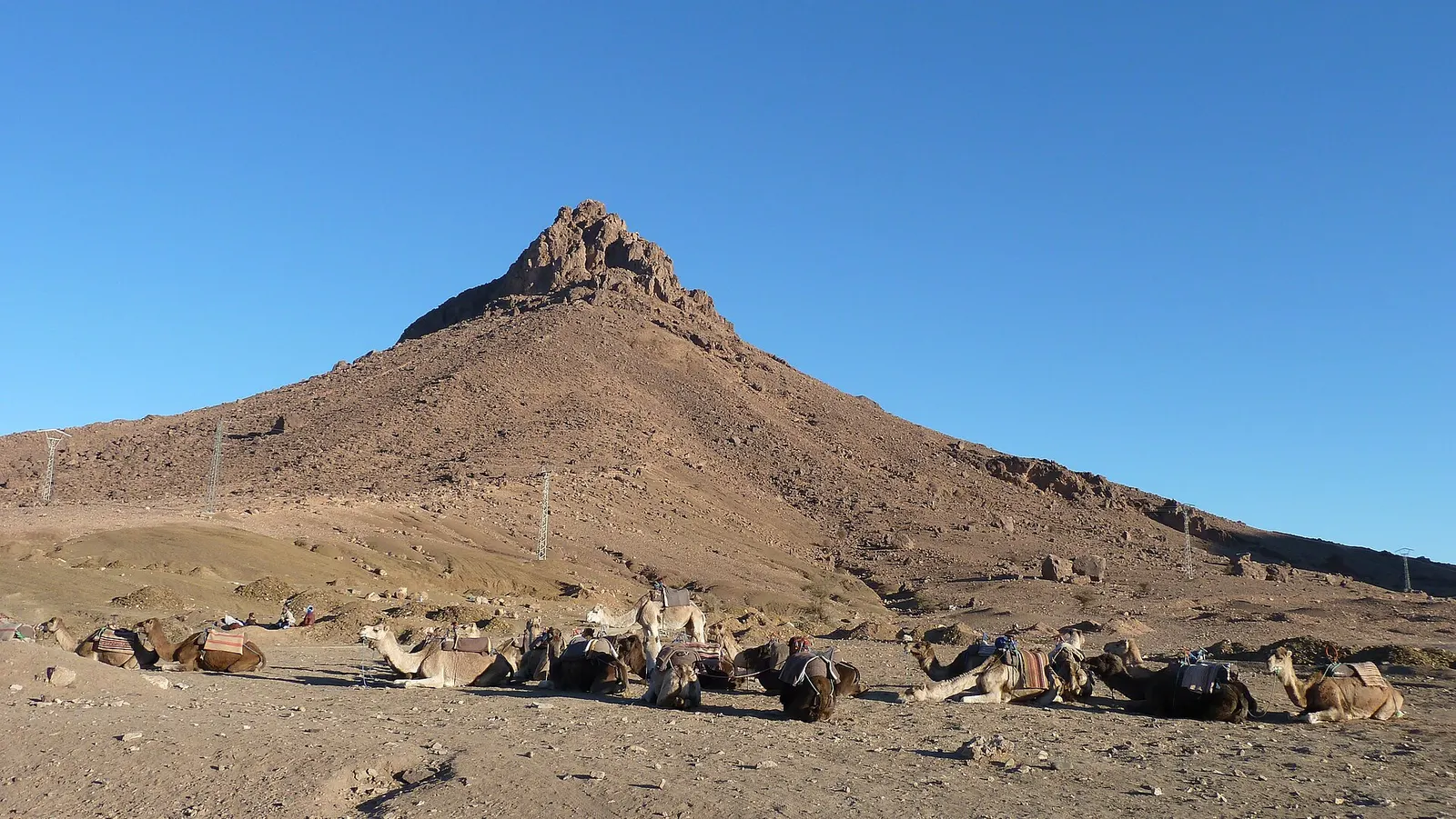 Zagora MoroccoZagora Morocco guide: where it is, what the desert really looks like, Tamegroute, Tinfou dunes, the Timbuktu sign, weather and how to get there.Read the guide
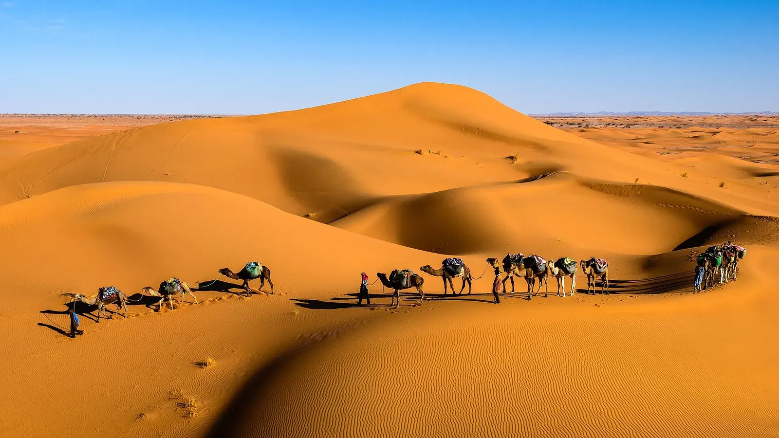 Sahara desert MoroccoSahara desert Morocco guide: where the real dunes are, erg vs hamada, the Drâa and Merzouga routes, drive times and how many days you need.Read the guide
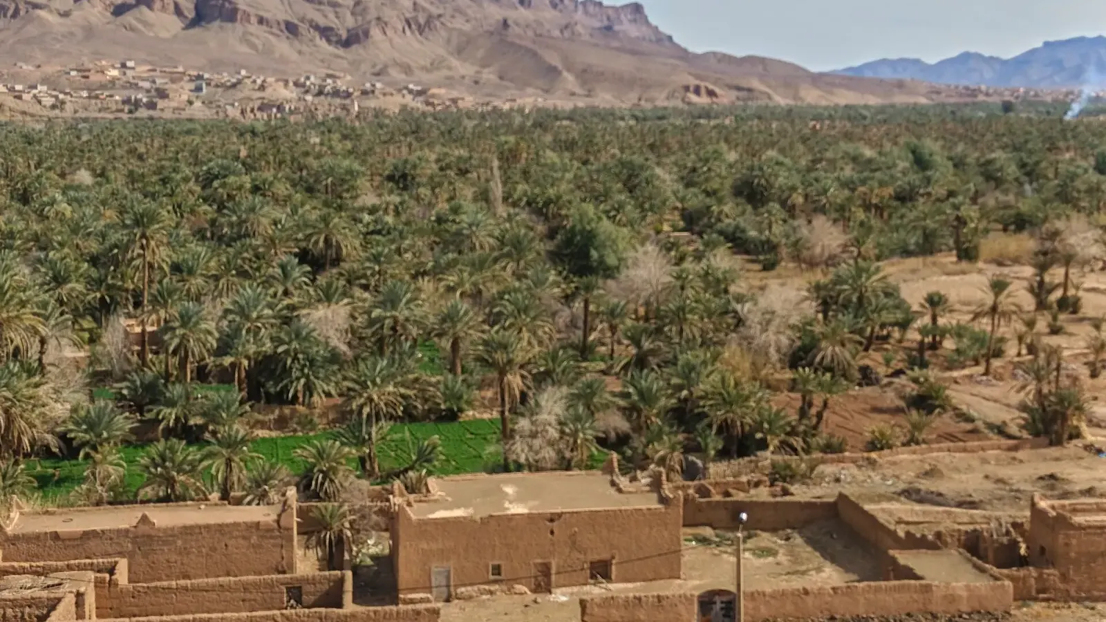 Desert oasis MoroccoDesert oasis Morocco guide: how khettaras and date palms keep the southern oases alive, why they are shrinking, and 11 oases you can visit, with distances.Read the guide